Sixense make the ground beneath your projects visible
Sixense make the ground beneath your projects visible using a range of geophysical survey and 3D imaging techniques.
We help our clients understand subsurface conditions and manage construction-related risks with confidence, by providing a comprehensive overview of geological structures, buried obstacles, voids, and variations in ground composition.
Our surveys support informed decision-making across the planning, design, and construction phases. Our teams work closely with clients to ensure that investigations are aligned with project needs, enabling safe progress and reducing the likelihood of unforeseen ground conditions causing delays or added costs.
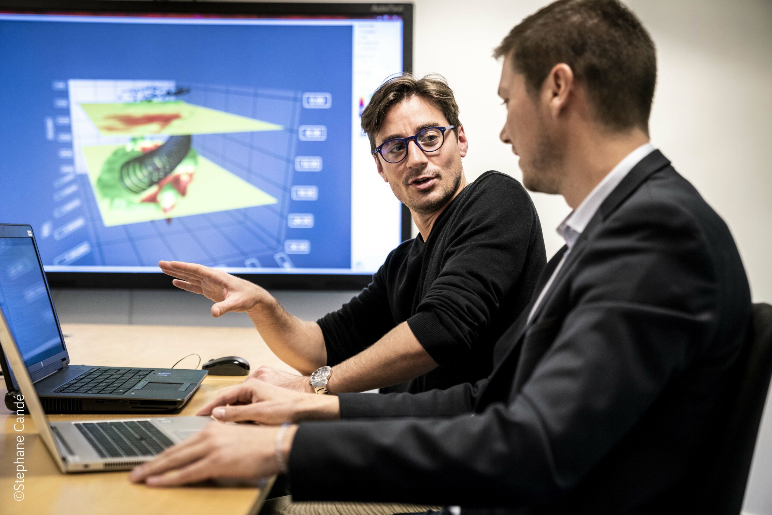
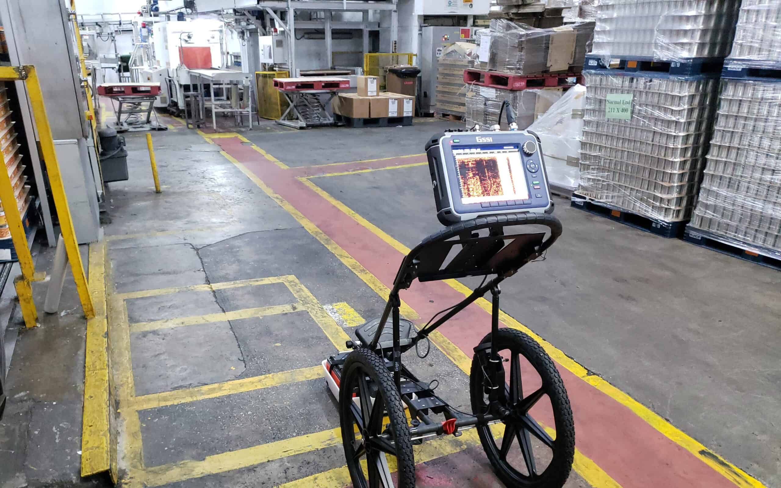
Sixense offers both conventional geophysical survey capabilities and innovative proprietary solutions. Conventional methods such as Ground Penetrating Radar (GPR), seismic refraction, and electrical resistivity tomography allow us to map subsurface features efficiently and non-invasively.
To enhance these capabilities, we can deploy tools that we have patented, including Cyljet, a high-resolution borehole imaging technique that provides detailed visual and structural insight into the ground along drilled alignments, and Sissterra, a seismic-based survey approach specifically designed for assessing soil stiffness and identifying zones of variable compaction or ground improvement requirements.
These tools increase accuracy and improve understanding where traditional methods alone may not provide sufficient clarity.
By combining traditional techniques with advanced proprietary technologies, Sixense delivers tailored, project-specific geophysical solutions that support risk reduction and better engineering outcomes. Our integrated approach ensures that stakeholders have a clear, data-driven understanding of the subsurface environment before and during construction.
Whether identifying geological constraints, evaluating ground behaviour, or verifying the results of improvement works, our surveys provide the vital information needed to build safely, efficiently, and with confidence in the ground conditions that underpin every project.

