Geotechnical Monitoring – Risk management for earthworks, excavations, foundations and operations
The construction of earthworks, specialist foundations, tunnels and other subsurface structures inevitably generates ground movements that may require monitoring. Using geotechnical monitoring to carry out this task provides a method for controlling geotechnical risks, and can contribute to the process of optimising the dimensions of subsurface structures. Sensors installed during earthworks projects can also be retained for long-term monitoring of cuttings and embankments, for example.
Geotechnical monitoring can also be used to measure the evolution of soil movements such as landslips, settlement, etc. The data the instruments provide helps engineers and consultants understand and diagnose the cause(s) of failure(s), and in turn this helps develop and deploy remedial solutions designed to arrest or manage future movements.
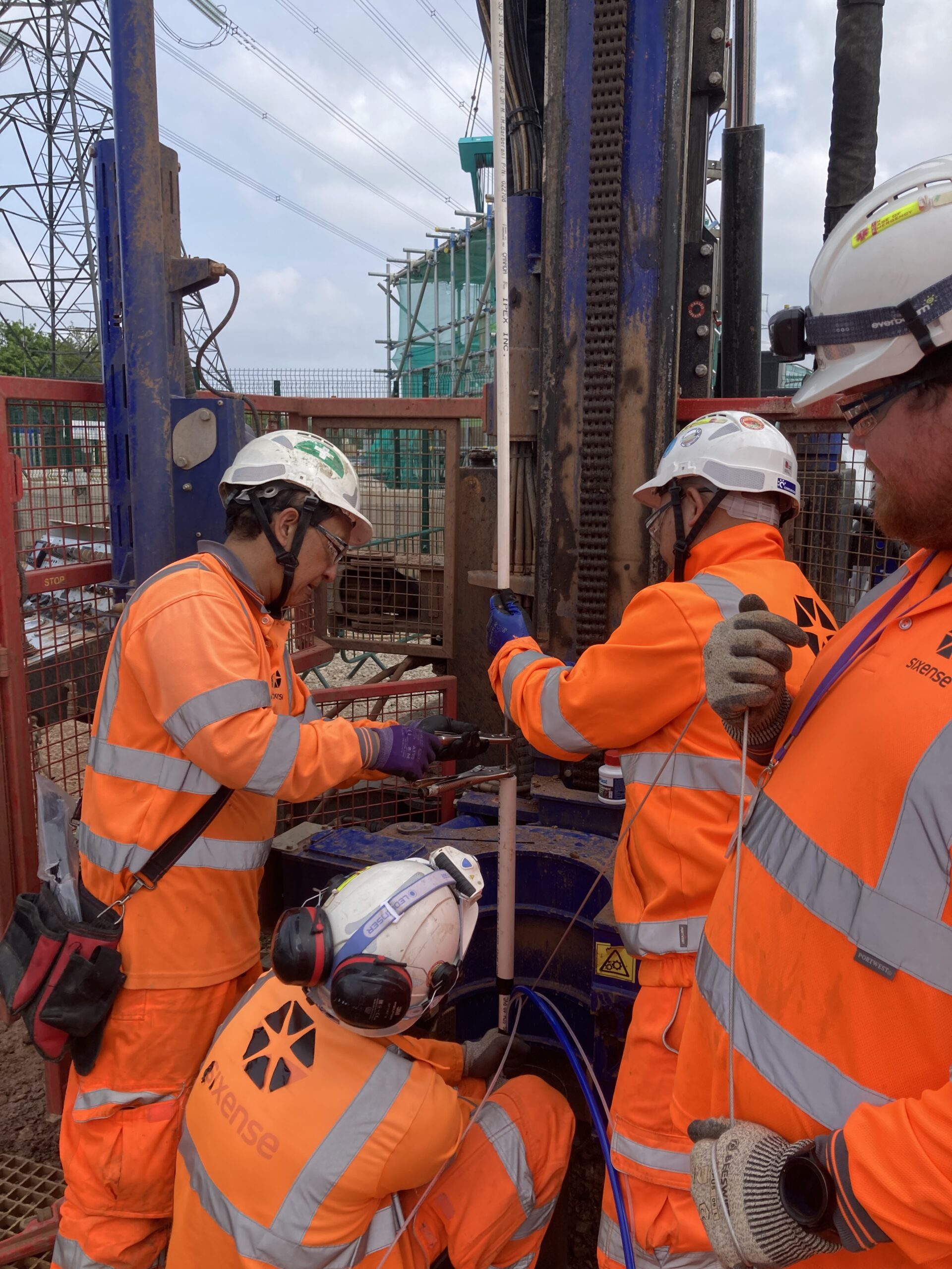
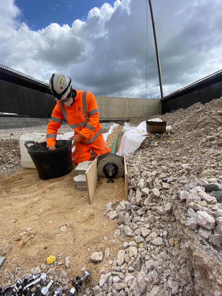
Sixense supply, install and manage geotechnical monitoring solutions that provide measurement and assessment of ground and structural conditions to ensure stability, safety, and performance throughout the lifecycle of a project.
By providing insight into how the ground and built environment behave over time, geotechnical monitoring enables proactive decision-making, reduces risk, and supports regulatory compliance. This helps construction monitoring projects and asset managers identify potential issues early, maintain safe working conditions, and protect surrounding infrastructure and communities.
In short, geotechnical monitoring is a key component of responsible asset management—delivering the data and confidence required to support sustainable design, construction, and long-term operational integrity.
Sensor & Instrumentation solutions
Sixense provide geotechnical monitoring services that include (but are not limited to) the following sensor and instrumentation solutions:
- Inclinometers & In-Place Inclinometers
- Single & Multiple-Head Rod Extensometers
- Magnet Extensometers & In-Place Extensometers
- Standpipes, Observation Wells, Single and Mulit-Level Vibrating Wire Piezometers,
- Vertical and Horizontal Shape Acceleration Arrays (SAA)
- GNSS Sensors
- Hydraulic Settlement Cells
- Hydrostatic Profile Gauges
- Earth Pressure Cells
- Fibre Optics…
Data from installed instrumentation can be imported and visualised in our Beyond Monitoring software.
We can tailor any combination of the above solutions to our clients specific requirements or address specific site based constraints.
Whatever size of project you require assistance with, from small footprint local developments requiring only a few sensors, to national infrastructure projects with thousands of interconnected instruments generating significant volumes of real-time data deployed across multiple sites, we guarantee that the measurements we acquire are accurate and immediately usable.
We have an ongoing policy of introducing and integrating the most effective tech innovations, and work continually on ensuring and maximising the reliability of our service.