IMMO Ciel Residential Tower Project | United Arab Emirates
Project summary
Images of the project
A new iconic tower in the heart of the Dubai Marina
The Ciel Residential Tower in Dubai is a new supertall skyscraper planned for the Dubai Marina. It will be situated directly adjacent to the world-famous Cayan Tower on the north side of the Marina. Planned to be a 76‐floor high-end residential tower, the Ciel Tower will become a local memorable landmark.
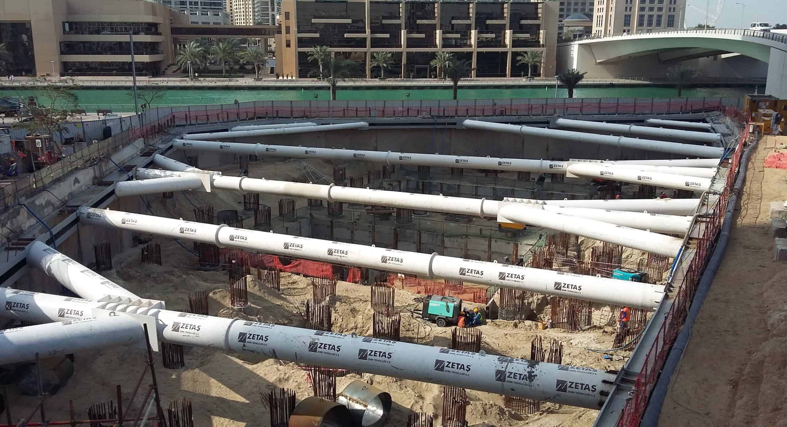
The work site is closely surrounded by existing structures, including a critical RTA bridge crossing the canal.
Zetas has been contracted for the Enabling Works, and entrusted Sixense with the instrumentation and monitoring of the ground and the structures in and around the site. Dutch Foundation, later contracted for foundation changes, recognised Sixense’s track record of delivering success for the project, and kept them on board for future works.
A complex situation on site
The Instrumentation & Monitring system was set to achieve the following:
- Safety during and after the construction by providing early warning of any excessive and undue movements of adjoining premises/structures/utilities.
- To provide settlement, deflection and deformation data for the verification of the initial design of the permanent structures and the temporary works supporting the excavation.
- To provide information on ground movements to ensure that the tolerances associated with various structures/elements within the zone of influence are not exceeded.
- To estimate and monitor the expected ground movement during construction
Sixense has also been providing periodic monitoring data reports, and have granted the Contractors, Consultant and RTA with live access to the monitoring data through its Web-based GIS software Geoscope.