Our photogrammetric data acquisition services use helicopters, drones and for confined space environments our patented Camtree solution can be deployed on site.
Where required, we are able to combine photogrammetry with Lidar and/or scanner technologies.
Your challenges, our responses
- Geometric + visual inventory
The challenge: to find an easily implemented, lower cost solution.
We have developed a number of drone-based mapping systems to meet the growing demand for digitisation of assets and constuction site developments. The flexibility, low cost and high speed of this solution is combined with our image processing expertise to offer very effective alternatives to traditional topographic methods.
- Safety
The challenge: to minimise human intervention in hostile environments.
3D photogrammetric surveying enables immersive exploration of a model reconstructed using image correlation.
Our solutions
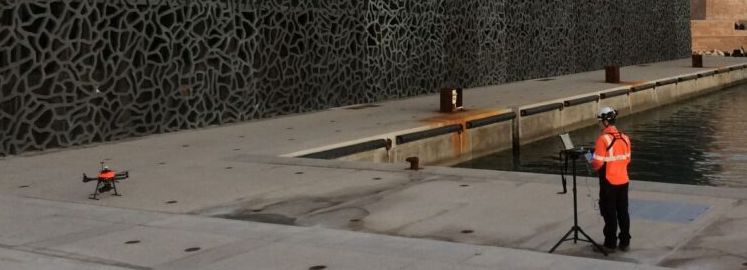
Drone
The flexibility and speed of drone operation make them particularly relevant for applications in the construction industry.


CamTree
CamTree is our patented solution for surveying underground networks or confined spaces where operation using standard equipment (scanner or other solutions) is particularly challenging or impossible.
What sets us apart distinctively from competitors
- Our comprehensive expertise in photogrammetric data acquisition processes that have been developed on hundreds of project sites around the world.
- The ability to transfer the field acquisition skills to our customers.
- Our commitment to continuous innovation allowing us to develop tailormade solutions for your projects and construction sites.