Our range of digital acquisition and survey measurement solutions provide our clients with a precise and comprehensive image of their installations, engineered structures and environment.
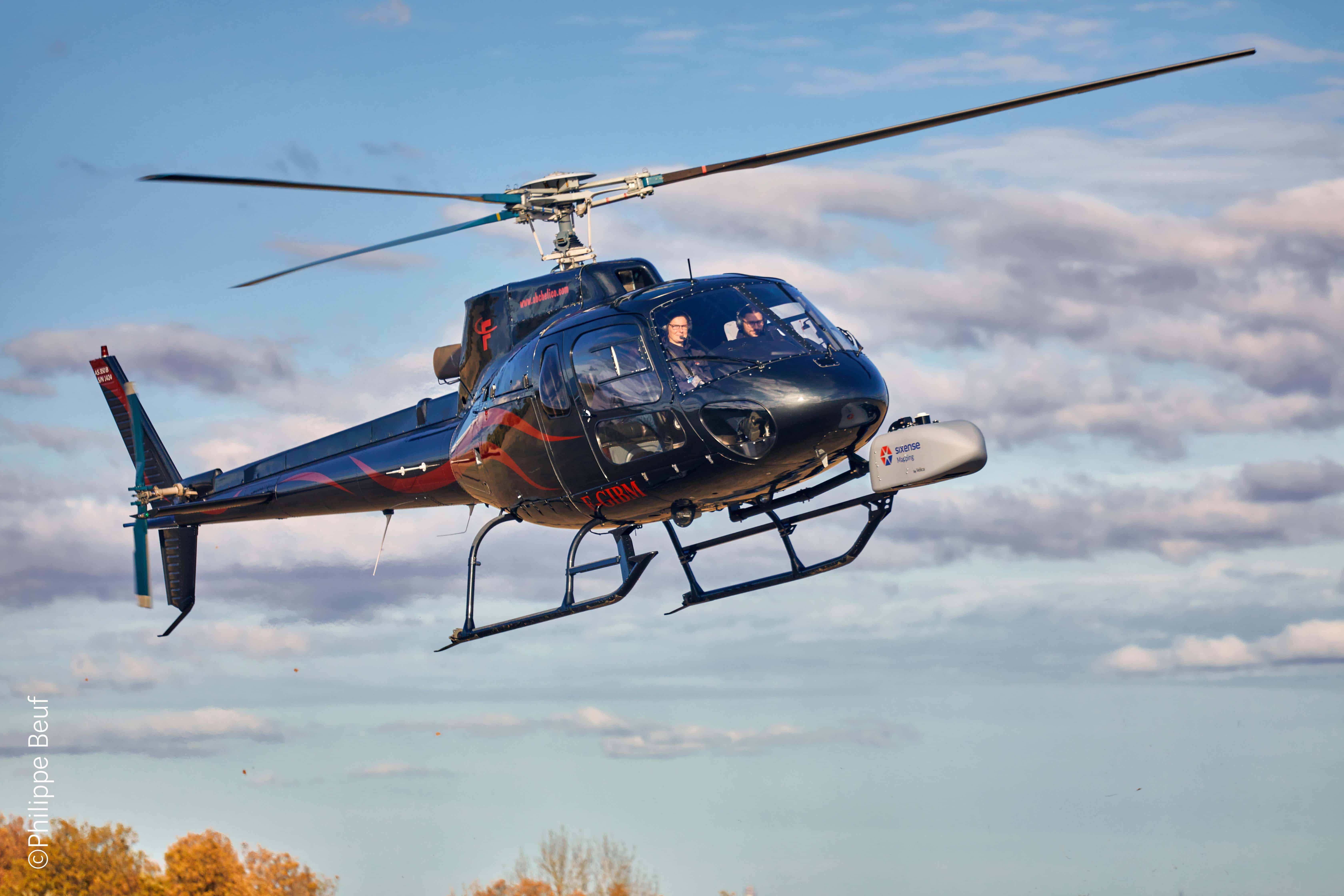
Our methods align perfectly with today’s strategies for managing existing and future assets. Techniques include LIDAR Data Acquisition, Photogrammetric Data Acquisition and Laser Scanning and Photogrammetry.
Our fields of excellence
Our key areas of intervention
- Infrastructure
Helping operators and construction companies to prepare and monitor their projects using digtial acquisition.
- Industry & Energy
Rapid surveying of large areas: more accurate, more comprehensive and faster than a manual survey. Metrological inspections.
- Towns & Cities
Mapping services for urban and natural environments.
- Heritage
Helping managers to digitise their built or natural heritage in preparation for development or conservation.
Why you should use our services
- Our expertise in all mapping technologies
Our teams use a broad spectrum of equipment and techniques for aerial, terrestrial, sub-surface and even underwater data acquisition.
- Our 30+ years of experience
Our data acquisition teams are highly experienced in their profession. They have acquired millions of survey points in all environments and under all conditions, including the most extreme. This guarantee of reliability is greatly appreciated by our clients.
- Immediately usable results
Applied to point clouds and objects, our data processing, classification and segmentation software helps client teams to receive data in formats that align as closely as possible with their own requirements.
- Continuous innovation and improvement
Innovation is integral to our DNA, and guides the constant development of our data acquisition and processing resources to meet your expectations. Many examples of successful co-development projects alongside our clients reflect the commitment to partnership that drives our pursuit of excellence.